
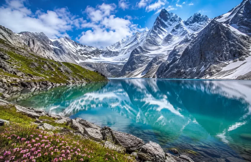
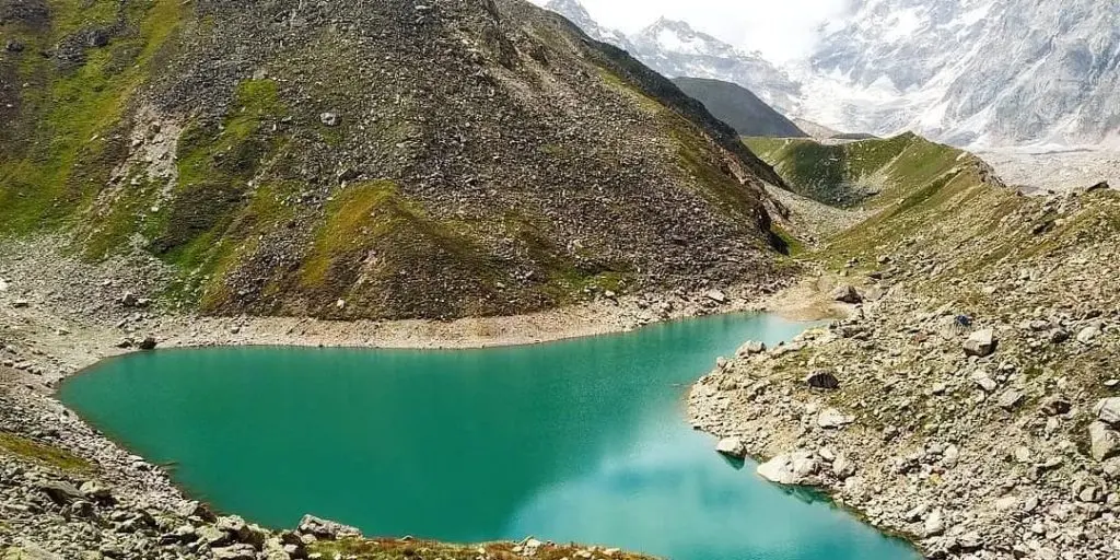
Sometimes a geography lesson is the only way in. Beyond Badrinath, past Mana — the last Indian village before the road simply stops and the mountains take over — lies a route that very few of the pilgrims and trekkers who make it as far as the temple ever continue onto. Roughly a day and a half of walking further, at approximately 4,600 metres, sits Satopanth Tal, a small, triangular, intensely blue glacial lake that Hindu tradition holds sacred to the Trimurti — its three corners said to represent Brahma, Vishnu and Shiva. This is not a casual extension of a Badrinath visit. It is one of the more demanding and least-visited high-altitude treks in the Garhwal Himalayas, and it is exactly as significant as its remoteness suggests.
The route itself carries mythological weight beyond the lake’s own legend. Tradition holds that this is part of the path the Pandavas took on their final journey toward Swargarohini — the ascent to heaven — after the events of the Mahabharata, passing through Mana, up through this same high glacial terrain, before Draupadi and, one by one, the Pandava brothers are said to have fallen along the way, leaving only Yudhishthira to complete the ascent. Whatever your relationship to the mythology, walking a route with this much accumulated meaning changes how the trek feels underfoot.
This guide covers the legend behind Satopanth Tal, the route from Mana village through Vasudhara Falls and Chakratirtha to the lake itself, an honest read on difficulty and who this trek actually suits, permits and practical considerations given the route’s proximity to the border region, and the best season to attempt it.
Satopanth Lake Trek — At a Glance
| Lake altitude | Approximately 4,600 metres (15,100 feet) |
| Starting point | Mana village, roughly 3 km beyond Badrinath |
| Trek distance | Approximately 24 to 25 km one way from Mana (48 to 50 km round trip) |
| Typical duration | 5 to 7 days round trip, including acclimatization |
| Difficulty | Difficult — high altitude, glacial moraine terrain, genuine remoteness |
| Key waypoints | Vasudhara Falls, Lakshmi Van, Chakratirtha, Satopanth Tal |
| Best season | Mid-May to June, and September to mid-October |
| Significance | Sacred to the Hindu Trimurti; associated with the Pandavas’ path to Swargarohini |
The Legend of Satopanth
The lake’s name and its shape are inseparable in local tradition — Satopanth is triangular, and each corner is said to correspond to one of the Trimurti, Brahma, Vishnu and Shiva, making the lake itself a physical representation of the trinity rather than simply a body of water named after it. Pilgrims who make the demanding journey to its shore treat it accordingly, with a degree of reverence that goes well beyond an appreciation of the scenery, however extraordinary that scenery genuinely is.
The broader route carries an additional layer of significance through its association with the Mahaprasthanika Parva of the Mahabharata — the final journey of the Pandavas and Draupadi toward Swargarohini, the peak believed to mark the ascent to heaven. Mana village, the trek’s starting point, is steeped in this legend, and walking the same high glacial terrain the epic describes is, for many trekkers making this specific journey, as much a pilgrimage as it is a trek.
The Route — From Mana to Satopanth
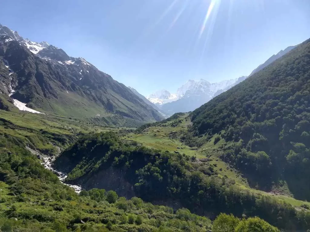
The trek begins at Mana, itself worth a slow visit before you start walking — often described as the last village of India, it sits at the edge of the inhabited world in this part of the Himalayas, with the road quite literally ending a short distance beyond it. From Mana, the route passes Vasudhara Falls, a genuinely spectacular waterfall roughly 5 kilometres in, popular enough as a standalone short trek that many visitors go no further — which tells you something honest about how the difficulty increases sharply beyond this point.
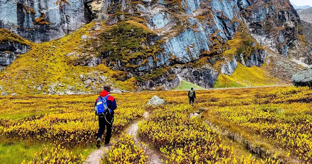
Past Vasudhara, the trail continues through Lakshmi Van, a forested stretch that gives way progressively to open, high-altitude terrain, before reaching Chakratirtha, the typical camp before the final push to the lake. The last stretch to Satopanth crosses genuine glacial moraine — loose, uneven, physically demanding terrain that requires proper footing and, ideally, a guide who knows the current state of the route, since glacial terrain shifts from season to season in ways a fixed map cannot capture.
Difficulty and Who This Trek Is For
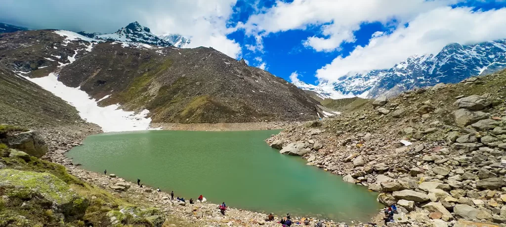
This is, honestly, not a trek for a first-time high-altitude trekker or anyone treating it as a casual extension of a Badrinath pilgrimage. The altitude alone — reaching roughly 4,600 metres — puts this well into territory where altitude sickness is a genuine and common risk, and the terrain in the final stretches requires real trekking experience on unstable glacial ground. Camping is required for the duration, since there is no permanent shelter beyond Mana, and the remoteness means help, if something goes wrong, is genuinely far away. This trek suits experienced trekkers with prior high-altitude exposure, ideally already acclimatized through a trek like Kuari Pass or a multi-day stay at altitude, travelling with a reputable guide or operator who has run this specific route before.
Permits and Practicalities
Mana village and the terrain beyond it sit close to India’s border region, and this proximity has historically meant additional regulatory considerations for travel beyond certain points — permit requirements, registration, and in some periods, restrictions specific to foreign nationals. These rules are not something we can state as fixed here, since border-area travel regulations change and require current, local verification rather than a guide written months or years before your specific trip. If you are planning this trek, confirm the current permit and registration requirements — through a registered trek operator, the local administration, or the nearest tourism office — well before you plan to travel, and budget time for this in your planning rather than assuming it will be a formality handled on arrival.
Best Season
Mid-May through June, after the Badrinath temple has opened for the season and before the monsoon arrives, is generally the more reliable window, with the temple’s opening date each year — covered in our Badrinath opening and closing dates guide — effectively marking the earliest the entire route, Mana included, becomes accessible. September through mid-October, after the monsoon clears, offers the second reliable window, with sharper visibility and more stable trail conditions. July and August, the monsoon months, are best avoided entirely given the terrain’s exposure to landslide and rockfall risk, and the trek is not accessible once the winter closure begins.
Things to Do
Acclimatize properly before you even reach Mana. A night in Joshimath, ideally combined with an acclimatization walk like Gorson Bugyal, followed by time at Badrinath’s altitude before pushing on to Mana and beyond, gives your body a genuine chance to adjust before you reach the altitudes where Satopanth’s real risk lies. Our altitude sickness guide covers this progression in detail.
Travel with a guide or operator experienced specifically on this route. Glacial moraine terrain changes season to season, and local, current knowledge of the trail’s condition is not something a map or a previous trek report can fully substitute for.
Spend real time at Vasudhara Falls rather than treating it as a waypoint to rush past. It is a legitimate destination in its own right, and many visitors who go no further than this point still consider the trip worthwhile.
Confirm current permit requirements well in advance of your trip. This is not a detail to leave until you arrive at Mana.
Things Not to Do
Attempt this trek as a first high-altitude experience. Satopanth is not the place to discover how your body handles altitude for the first time — that discovery belongs on a shorter, better-supported trek like Kuari Pass first.
Underestimate the glacial moraine sections because the earlier stretches through Lakshmi Van feel manageable. The terrain changes character substantially in the final approach, and treating the whole trek as uniformly difficulty is a mistake that catches out otherwise experienced trekkers.
Travel without confirming permit and registration requirements beforehand. Arriving at Mana to discover a requirement you did not know about is an entirely avoidable problem.
Push on toward the lake in worsening weather because you have come this far. The remoteness of this route means a weather-related problem here is considerably more serious than the same problem would be on a more accessible trek.
OVERRATED
Treating Satopanth as a simple day extension from a Badrinath visit. The distance and difficulty involved make this a serious multi-day undertaking in its own right, not an afternoon add-on to a pilgrimage itinerary.
The idea that mythology alone is a substitute for proper trekking preparation. The route’s sacred significance is genuine and worth honouring, and it does not reduce the very real altitude and terrain risk involved. Reverence and preparation both matter here.
Satopanth Lake Trek — Practical Logistics
| Joshimath to Badrinath | 45 km, 1.5 to 2 hours by road |
| Badrinath to Mana | Approximately 3 km |
| Mana to Vasudhara Falls | Approximately 5 km |
| Vasudhara Falls to Satopanth Tal | Approximately 19 to 20 km further, via Lakshmi Van and Chakratirtha |
| Recommended prior acclimatization | At least one multi-day high-altitude trek, or several nights progressively at altitude |
| Camping | Required for the full duration beyond Mana |
Preparing for Satopanth from Joshimath
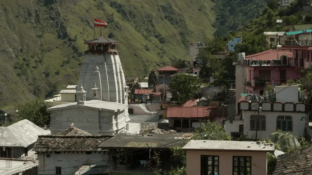
Blackberry Cottages & Resort is at Auli Laga, Joshimath, 45 kilometres and under two hours from Badrinath, and a sensible place to build in the acclimatization time this trek genuinely requires before you continue on to Mana and beyond. Our team can advise on current road and permit information as far as we are able to confirm it, arrange your transport to Badrinath, and help you think through a sensible acclimatization schedule if Satopanth is the serious undertaking you are planning it to be. This is not a trek to arrange the week before you travel — start your planning, including permit checks, well in advance.
For help planning your Badrinath visit and the acclimatization time before continuing to Mana, reach us at blackberrycottagesauli.com or on WhatsApp.
